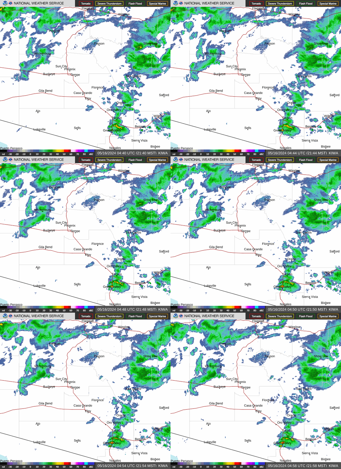
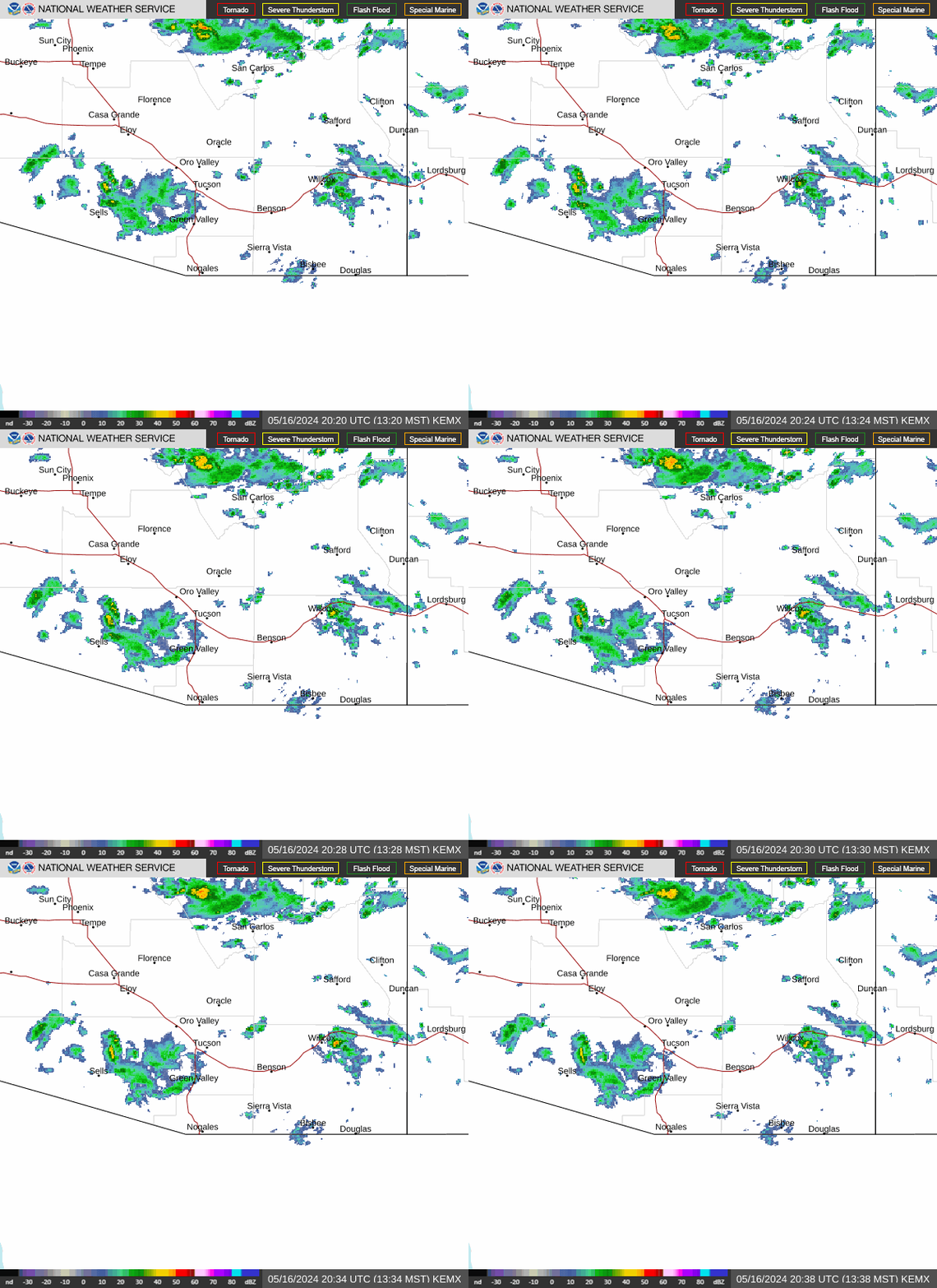
|
- Our Local Forecasts and Warnings
-
ATOM and CAP Feeds
Chandler Fire Burn Index
Forecast Surface Maps
More Forecast Surface Maps
Glendale Airport Current METARS
Natural Hazards in Arizona
NOAA Daily Weather Briefing
NWS Five Day Forecast
Snowfall Analysis
State Warning Map
S.W. Drought Warning
The Forecast Room
Understanding Weather Alerts
Warning By State Zones
Weather US Map Alerts
Western United States Weather
- Radar, Clouds, Lightning, and Cameras
- Misc. Weather
-
A.D.O.T. Traffic Cams
A.P.S. Electrical Outage Map
Arizona Climate Information
Arizona Fire Watch
Arizona Meteorological Network
Arizona-Phoenix Clear Sky Chart
Arizona Storm Center
Astronomy and Monthly Star Maps
Astronomical Glossary
Drought Monitoring
El Nino and La Nina Meaning
Earthquakes
Glendale Current Pollen Count
Global Wind Map
High and Low Temps Yesterday
Hurricanes
Influenza Summary Update
Maricopa Air Quality
Marine Forcasts
MesoWest Station Hourly Trend Monitor
MesoWest Surface Weather Maps
National Terrorism Advisory System
National Weather Service Fire Weather
North American Monsoon
Radiation Network
Satellite Univ. Colorado
Satellite GOES-16/17 Loop
Space Weather
S.R.P. Electrical Outage Map
Skywarn Spotters Guide
State Web Weather Stations Links
Sun Calculator
Sun and Moon Almanac
Sun and Moon Almanac 2
S.W. Flood Map
Tropospheric Emission Monitoring
Valley Live Air Quality Monitoring
Watershed Connection
Weather Extremes Today
Weather Tools
Weather Glossary
Weather Glossary AMS
Weather Graph & Charting
Weather History Today
Weather Software Models
Weather, National News, and Sports
Weather Nerds
Weather Prediction Center
Weather Story
Volcanoes
Weather Resources from refdesk.com
Web Weather for Kids
U.S. Crisis Map
US Significant River Flood Outlook
UV Status
Ventusky Live Map
Weather Video HD.TV
- Our Information
- WXS Records, Graphs, Gauges, and Stickers
- Aviation Weather
-
Area Forecasts
Aviation Maps
Ceiling and Visibility
Center Weather
Convection
FAA NOTAMS
Flight Tracker
Flight Radar
G-AIRMET
Icing
MADIS Aircraft Map
MesoWest Airport Ceiling
METARs
METAR and TAF Definitions
NOAA Aviation Weather
Prog Charts
Radar
Radar Box 24
Satellite
SIGMET
Surface Weather Observation Stations
TAFs
TFR NOTAMS
Turbulence
WAFS Forecasts
Winds/Temps
drop down menu html by Css3Menu.com
Return To Home Page
|
